The weather and safety outlook for 26 November 2025.
The course takes an average of 10 to 15 days to complete, depending on weather conditions and individual ability. Training begins with ground handling on flat and gently sloped areas, where you learn to control and fly the glider at low elevations. You’ll also cover essential theory, including aerodynamics, basic meteorology, and the fundamentals of take-off, flight, and landing, knowledge you’ll soon put into practice.
Once you’ve mastered the basics, you progress to longer ground-skimming flights, followed by flights with higher ground clearance, all under the close supervision of your instructor. After a few days of practice flights, you should be ready to move on to high flights. Throughout your course, we also keep an eye on the weather to fit in a tandem flight or two whenever possible.
To complete your training, you’ll need to successfully perform a minimum of five high flights and pass a series of practical tests. You will also write an exam as part of your Novice licence requirements.
Along the way, you’ll make new friends, perhaps even lifelong ones, and develop a sharp awareness of your surroundings. Even everyday driving will feel different as you find yourself “hang driving,” gliding from one intersection to the next. And don’t be surprised if you catch yourself looking up at the sky more often, wearing that unmistakable pilot’s grin. Only a pilot knows that feeling.
Course Duration
10–15 Days to Complete (Weather & Ability Dependent)
High Flight Requirement
Minimum of 5 High Flights
Training Stages
4 Main Stages (Ground Handling → Slope Flights → Ground Skimming → High Flights)
SA synoptic chart. :)
")
Rain for SA at 14:00. :)
")
Max temps SA - LS highlands at just 13 C! :))
")
Cloud base for SA at 14:00. :)
")
Vertical velocity and wind at 10k.:))
")
Wilderness Snapshot. :)
"Sedge" Snap Shot ;)
")
Sedge Spot! :))
Sedge SkewT
Wilderness regional winds lunchtime :)
")
Region cloud base. :)
")
Do you like reading flying related stuff? ;) Check out my old blog for some interesting fun and musings on life and flying around the tropical islands of Seychelles. http://wingsandwhalesharks.blogspot.com/
Wild2Fly weather report Acronym sheet
IOH – Indian Ocean High Pressure System
SAH – Southern Atlantic High Pressure system
LSH - Lesotho High Pressure System
B/S - Boyancy Shear ration
CB - Charlie Bravo, Aviation term for Thunderstorms
CT – Cape Town
CP – Cape Point
CF - Cold Front
CATS - Clear Air Turbulence
CoL - Cut of Low
GR - Garden Route
EL - East London
GE - Great Escarpment
LR – Lapse Rate
LH – Lions Head
SH – Signal Hill
SLP – Sir Lowries Pass
FB – False Bay
FH - Franschoek
RB - Rondebossie
PV – Porterville
PB - Picketberg
SB - Swartberg Pass
CP – CarPark
BH – Beach Hotel
WC – Western Cape
PE – Port Elizabeth
PA – Port Alfred
WWB - Wrong Way Bob
W – West
OD - Over development
Q's - Cumulous clouds
SW – South West
WSW – West South West etc
MIT - Metrology
MET - Meteoroly
VFR - Visual Flight Rules
FVR - For the dislexic - means same as above... :))
WYSIWIG - What You See Is What You Get.
SHPB - Southern High Pressure Belt
If I have missed anything let me know.
;)
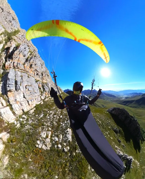
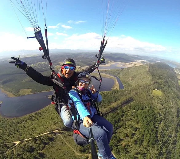
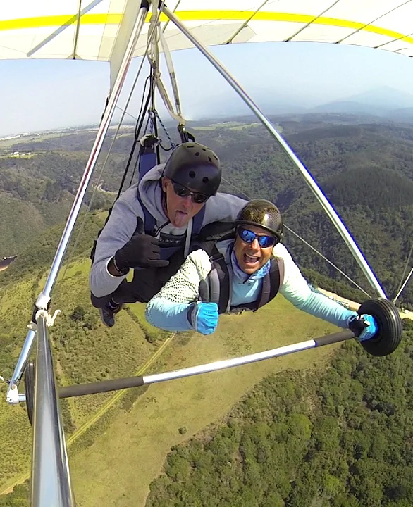
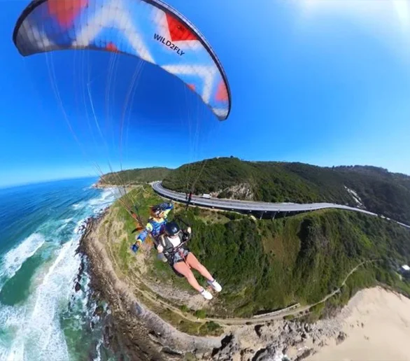
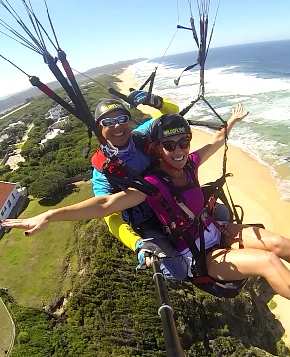
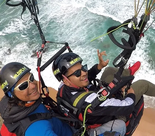
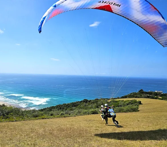
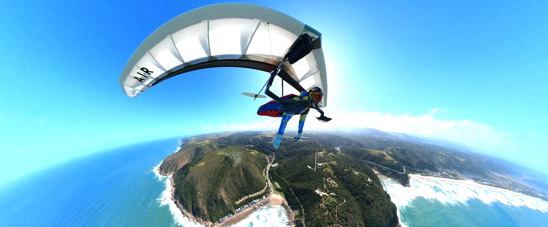
Some of Our Flight Adventures